Article

Multi-Day Walking Routes in Europe, Easiest to Hardest

Europe's long-distance walking runs from flat canal towpaths to a Grade 2 scramble above Glen Coe. Eight sites arranged as a gradient of difficulty rather than a ranking, so you can pick a route by the kind of day you want.

long-distance trails europe hut-to-hut trip planning beginner hiking waymarked trails scrambling
Multi-Day Walking Routes in Europe, Easiest to Hardest

A canal towpath in Burgundy and a knife-edge ridge above Glen Coe both take a day to walk, and nothing else about them is the same. That gap is the useful part of multi-day walking routes in Europe: the choice is not a ranking, but a gradient of how hard a day you want and where you want to be standing when it ends.

The sites below sit along that gradient. At the near end, flat water-level walking with a village bed waiting at the finish, and waymarked national trails you can follow without a map in hand. In the middle, hut-to-hut circuits in the Dolomites, where the roof over your head is booked months ahead. At the far end, a Corsican traverse measured in vertical metres and one Scottish ridge that is hard for reasons unrelated to distance: a single day out, and the sternest thing here.

Read the sleeping arrangement as closely as the mileage; it tells you more about the day than the distance does. One thing worth carrying: much of Europe's route writing comes from people who also sell trips, guidebooks or gear, and the sections say so where it applies.

This article references third-party websites for informational purposes only. PackLite does not host, own, or claim any rights over the content of the linked sites. All screenshots are used for illustrative purposes and link back to their original source.
More on this topic

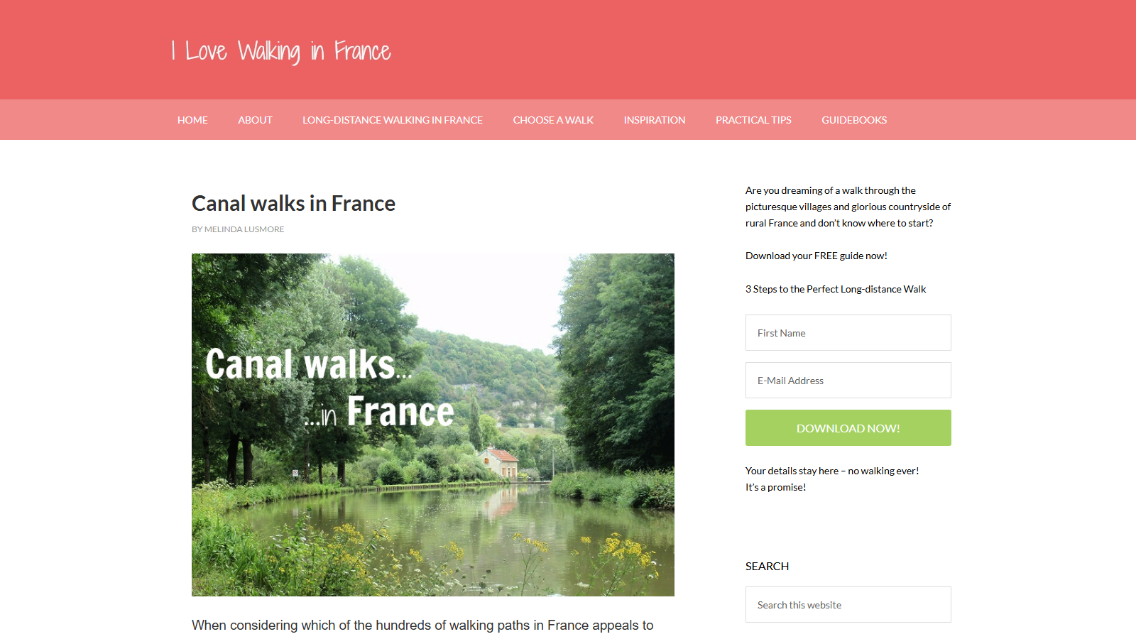
Article 'Canal walks in France' by Melinda Lusmore on the pink-headed I Love Walking In France site, illustrated with a photo of a still tree-lined canal with a red-roofed lock-house on the bank and yellow wildflowers in the foreground, captioned 'Canal walks... in France'

Walking France's Canal Towpaths, from I Love Walking in France

I Love Walking in France is Melinda Lusmore's site on long-distance walking routes, and this page argues for canal towpaths as the gentlest version of that pursuit. Lusmore also sells route-specific PDF guidebooks through the same site, so the walks recommended here are the same kind of routes those guidebooks cover. Nothing on this page pushes a purchase, but that overlap is worth knowing before taking the recommendations at face value.

The core argument is about gradient rather than scenery: a canal towpath was built for horses towing barges, so its climbing is concentrated at the locks instead of spread across the route, keeping the walk flat and easy on the knees. Lusmore applies that to four named routes rather than leaving the pitch abstract - the Burgundy Canal, the Canal du Midi, and Brittany's Nantes-Brest and Blavet canals - and notes a towpath is also hard to wander off by accident, since the water is always on one side.

Practical detail backs up the pitch: cyclists on the Burgundy Canal can rent bikes through local tourist offices, and the Midi route runs close enough to Toulouse and Carcassonne to fold a Michelin-starred dinner into a walking day. The honest trade-off is that towpaths trade drama for ease - no ridgelines or big views, just water, locks, and villages at a steady, flat pace. That suits walkers who want distance without difficulty more than anyone chasing mountain scenery.

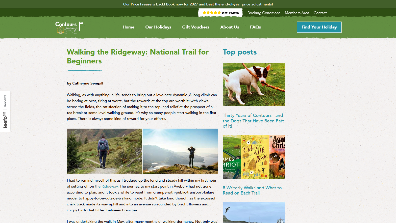
Contours Walking Holidays article 'Walking the Ridgeway: National Trail for Beginners' by Catherine Sempill, with two photographs side by side - a walker with a rucksack descending a grassy path beside conifers, and a walker standing on a summit above a mist-filled valley - and a 'Top posts' sidebar to the right

Three Days on the Ridgeway: A Beginner's National Trail Account

Contours Walking Holidays is a UK operator that sells guided and self-guided walking trips, including holidays on the Ridgeway itself, so this piece doubles as marketing for its own bookings. The account it publishes covers three days of solo walking on one stretch of the Ridgeway, starting from Avebury, not the full National Trail end to end.

Within that scope, Catherine Sempill's write-up is a useful first read for someone considering the trail. She describes an exposed chalk track that is mostly level and straightforward to follow, with clear waymarking and water points along the way, and she credits the route's popularity with walkers to the ease of navigation and the chance of falling into conversation with other people out on it.

The piece doesn't oversell the "beginner" label: Sempill is upfront that the walk opens with a long, steady climb out of Avebury, and that a handful of other stretches demand real effort rather than a flat stroll. That mix of easy going and occasional hard sections is a fair preview for anyone weighing up a multi-day walk in England for the first time, though readers wanting the full trail's route, distances, or terrain beyond this one three-day slice will need to look elsewhere.

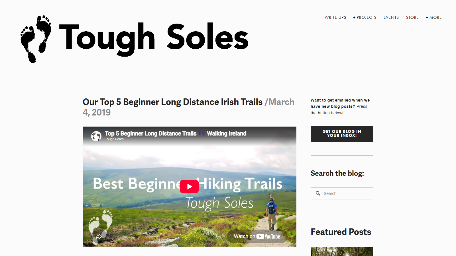
Tough Soles blog post 'Our Top 5 Beginner Long Distance Irish Trails / March 4, 2019' under the site's bare-footprints logo, with an embedded video thumbnail titled 'Best Beginner Hiking Trails' showing a walker on a gravel path across green Irish hills

Five Beginner Long-Distance Waymarked Trails in Ireland

Tough Soles is a hiking blog and small outdoor-gear shop built by Ellie Berry, who has walked every one of Ireland's National Waymarked Ways. The site sells trail maps and hiking gear through its own store, the same kind of equipment its trail write-ups tell readers to pack, which is worth knowing before taking its trail picks at face value.

This particular post rounds up five Waymarked Ways picked for people attempting a multi-day trail for the first time: the short Nore Valley Way, the flat 120km Barrow Way canal towpath, the mixed-terrain Lough Derg Way, the Dublin Mountains Way, and the looping Miner's Way and Historical Trail. For each one, Berry gives the distance, describes the terrain underfoot, and notes where a beginner might find a bed or catch public transport along the route.

The value here is a walker's own experience rather than a tourist-board rewrite: she has covered every route on the list and says plainly which sections make an easy day out and which need more planning before you commit a weekend to them.

One honest limitation: this was written in 2019, so any specific guesthouse, bus timetable, or trail-surface note is a starting point for your own research rather than a current fact, and worth double-checking before you plan a trip around it today.

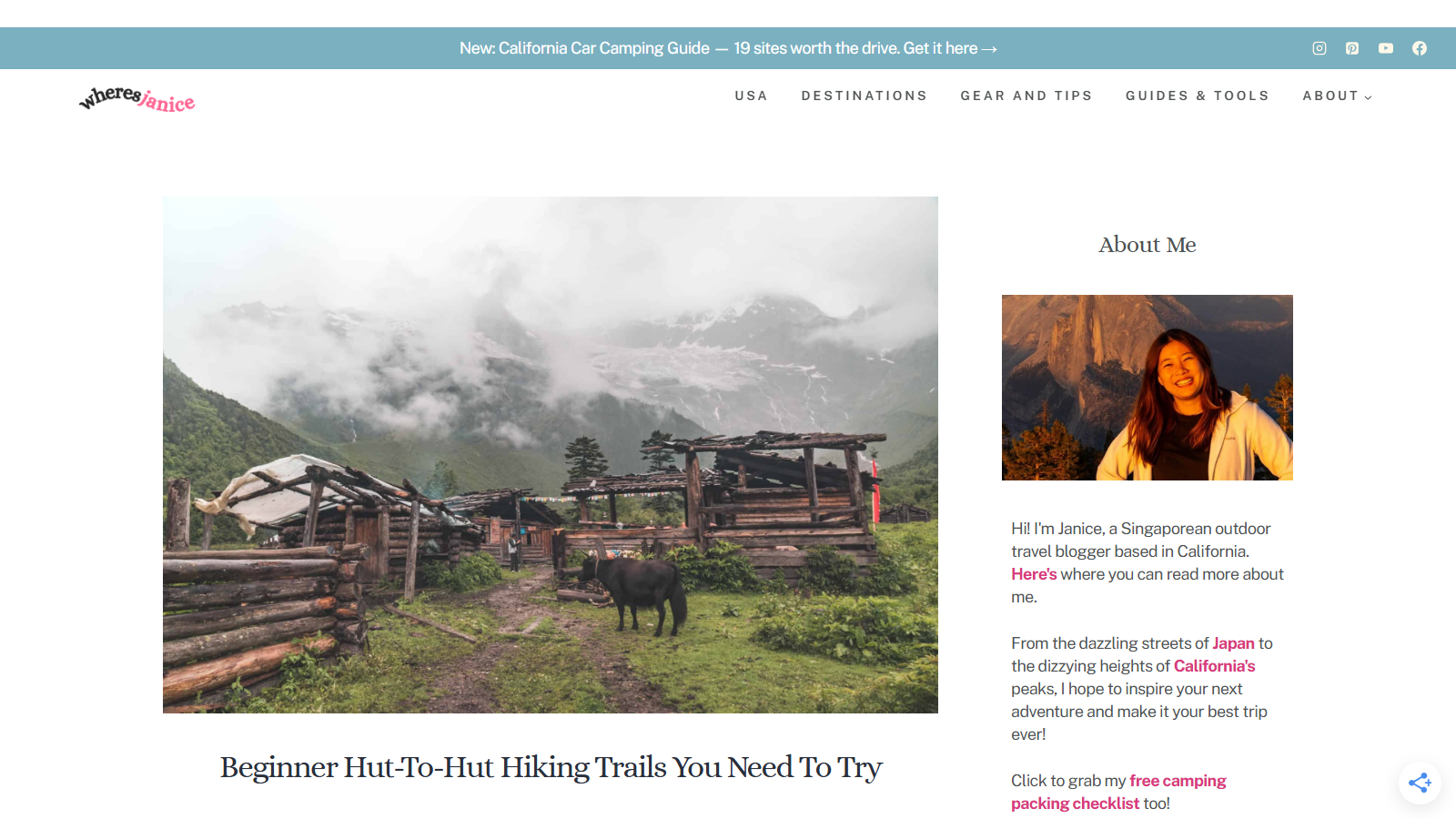
Wide photograph of weathered timber huts and a grazing black yak on a green alpine meadow beneath cloud-wrapped glaciated peaks, with the headline 'Beginner Hut-To-Hut Hiking Trails You Need To Try' printed below it; a sidebar 'About Me' panel shows a portrait of the author

Beginner Hut-to-Hut Hiking Trail Picks on Where's Janice

Where's Janice is a personal outdoor-travel blog run by a Singapore-born hiker based in California, and this roundup gathers hut-to-hut routes she considers approachable for first-time backpackers.

Don't expect every trail here to be a short outing: alongside shorter options like the Val Gardena to Alpe di Siusi walk, the post also profiles multi-week routes such as Patagonia's W Trek and stretches of the Via Alpina, so check the day count on each pick before assuming it suits a long weekend.

For each route the post notes how many hours of walking to expect per day (most fall in the five-to-eight-hour range), what the hut accommodations are like, and the fitness a first attempt calls for. It reads as a practical starting point for someone who has done day hikes but never carried gear between huts, rather than a technical trip-planning guide.

The trade-off is depth: covering several trails in one post means none gets the detailed logistics — permits, booking windows, exact mileage — that a dedicated guide to a single trail would include, so treat it as a shortlist to research further rather than a full itinerary.

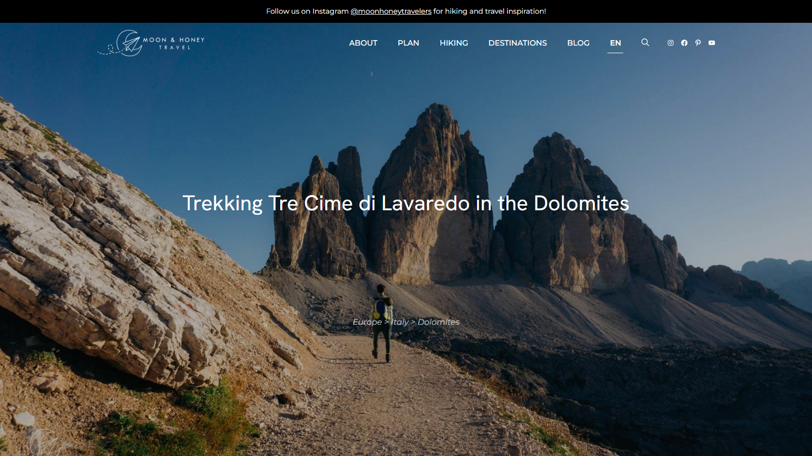
Full-screen photograph of a lone hiker walking a gravel path toward the three limestone towers of Tre Cime di Lavaredo under a deep blue sky, with the headline "Trekking Tre Cime di Lavaredo in the Dolomites" and the breadcrumb "Europe > Italy > Dolomites" centered over the image

Trekking Tre Cime di Lavaredo: A 3-Day Dolomites Hut Hike

Moon & Honey Travel is a hiking blog run by two founders who write every guide from their own time on the trail, and this page is their stage-by-stage account of a 3-day hut-to-hut trek around the Tre Cime di Lavaredo peaks in Italy's Sesto Dolomites.

The route starts and ends in Val Fiscalina, climbing to Rifugio Locatelli on day one, looping past Rifugio Lavaredo and Rifugio Auronzo on day two, and descending through Val Fiscalina Alta on day three. Each stage lists distance, elevation gain, and hiking time, and the page includes a route map, hut names in both Italian and German, and notes on when huts are open (roughly late June through late September) and where wild camping is prohibited.

What makes this useful beyond a bare itinerary is the practical detail: how far in advance to book each hut, what to pack (cash and a sleeping bag liner among them), and a clear answer on equipment — no via ferrata gear is needed for this particular route. The huts are booked independently and directly, not through the site, and the guide is upfront that trail conditions and hut reservation systems can change season to season.

It suits hikers who've done single-day hikes and want a first hut-to-hut trip without technical climbing, though the trade-off is that this circuit sees heavy day-hiker traffic on its busiest overlap, so those wanting solitude may prefer the site's more remote Alta Via alternatives it links out to for further reading.

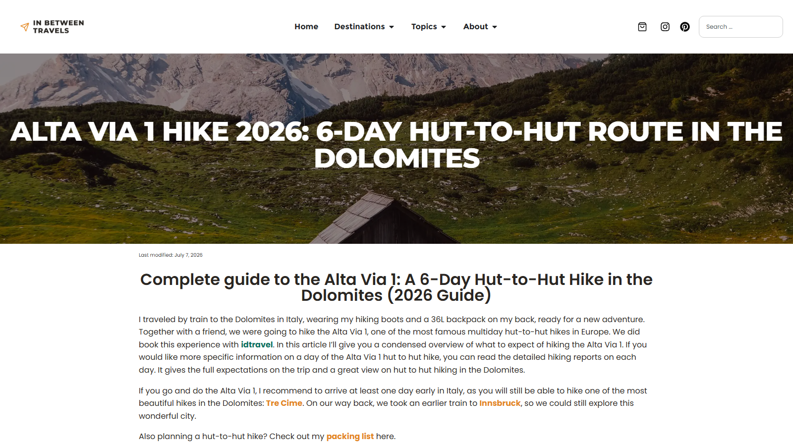
Full-width hero photograph of a dark timber alpine hut on a green slope below a pale limestone massif, overlaid with the headline 'ALTA VIA 1 HIKE 2026: 6-DAY HUT-TO-HUT ROUTE IN THE DOLOMITES', a 'Last modified: July 7, 2026' line, and the opening paragraphs of the guide.

A 6-Day Hut-to-Hut Hike Along Italy's Alta Via 1 in the Dolomites

In Between Travels is a personal hiking and travel blog written by someone who books and documents the trips themselves, and this guide comes with the disclosure that goes along with that: the site earns affiliate commissions on some of the links it publishes, including the tour operator the author paid to organize the very hike described here. Worth knowing before reading the recommendations that follow.

With that in view, the guide itself holds up as a solid overview of the Alta Via 1, a six-day hut-to-hut route through Italy's Dolomites. The author traveled in by train with a 36-liter pack and walks through what to expect day by day: route lengths, elevation change, and rough hut costs, which the site puts at roughly 55 to 80 euros a night. A short FAQ section and a note on the best hiking window, late June through late September, round out the practical side.

This is a condensed summary rather than a full trip report: the day-by-day detail lives in separate linked posts, so readers wanting mileage-by-mileage notes will need to click through rather than find it all in one place. It suits someone deciding whether the Alta Via 1 fits their fitness and schedule more than someone already packing for it. The author also flags a useful add-on: arriving a day early to fit in the nearby Tre Cime di Lavaredo hike before starting the main route.

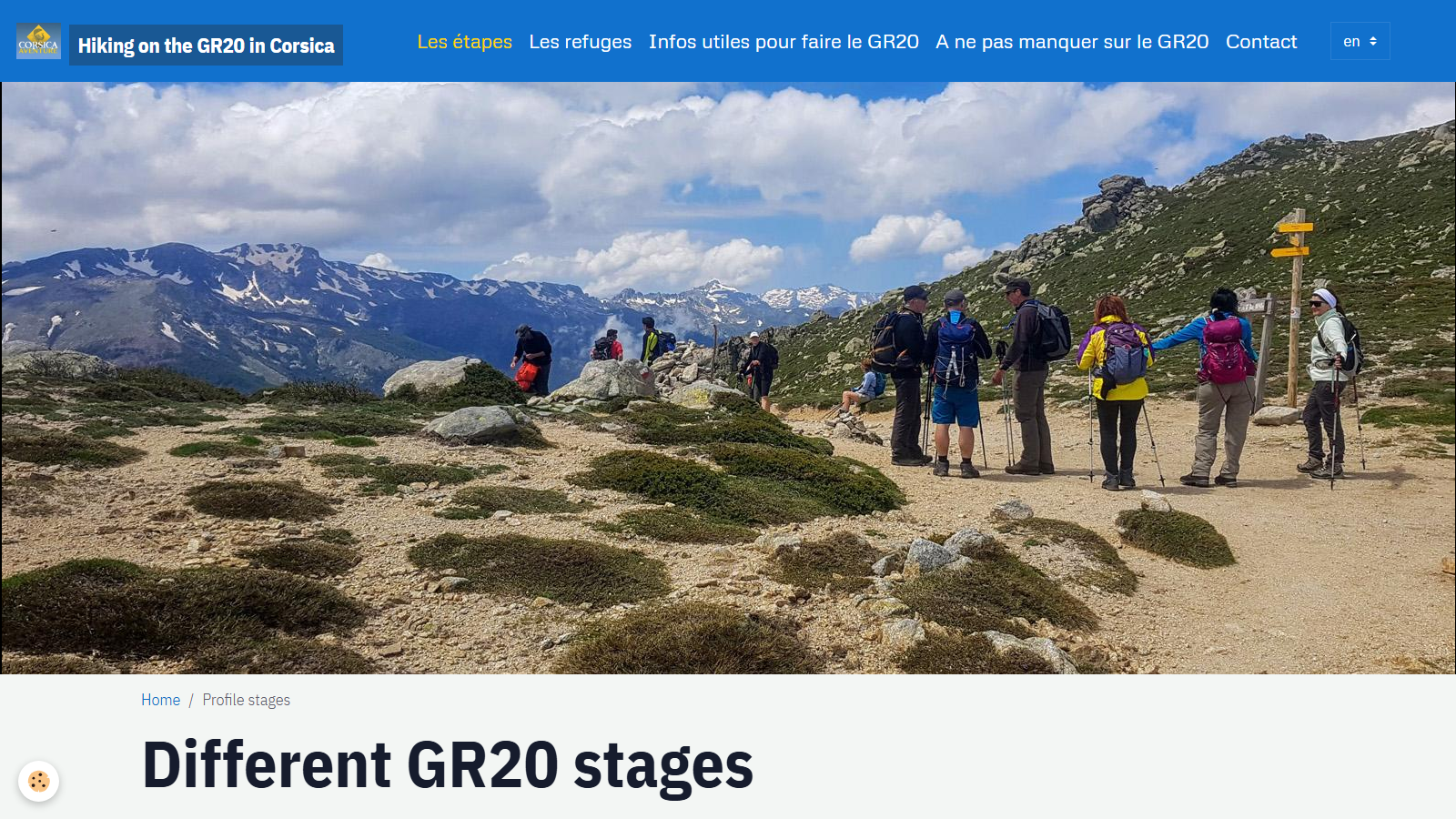
A wide mountain photo of hikers with packs and poles pausing at a wooden signpost on a stony col, snow-streaked Corsican peaks and cloud behind, above the page heading 'Different GR20 stages'.

GR20 Corsica: Stage-by-Stage Distance and Elevation Profiles

Hiking on the GR20 in Corsica is published under the Corsica Aventure brand, a Corsican trekking agency that books GR20 accommodation, orders refuge meals and arranges transfers and luggage transport - worth knowing up front, since the same operator sells the services a hiker planning this trail would end up booking. That said, the stage-profile page itself is a genuinely useful planning reference.

The page breaks the GR20 into its standard 16 stages, one per day, running from Calenzana in the northwest down to Conca in the southeast, with the forest village of Vizzavona marking roughly the halfway point. Each stage lists its distance, cumulative ascent and descent, and an estimated walking time, so you can see which days are short transfer stages and which involve serious vertical gain.

That format suits anyone building their own itinerary or checking a guided one against the raw numbers - deciding where to split a long stage, say, or how a rest day at Vizzavona changes the second half's pacing. The trade-off is that it's purely a stats table: no terrain description or live refuge availability, so you'll still want a guidebook or the refuge network's own booking site for what a stage list can't carry.

For a trail routinely ranked among Europe's toughest long-distance routes, having accurate day-by-day distance and elevation figures in one place - even from a site with a commercial stake in your trip - takes a lot of guesswork out of committing to sixteen days of climbing.

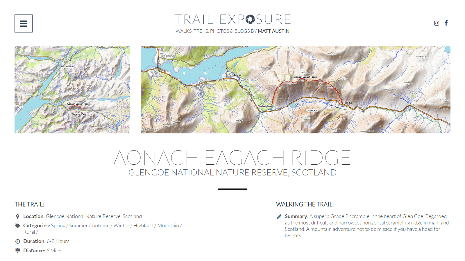
Trail Exposure route page for the Aonach Eagach Ridge, showing two Ordnance Survey map panels with the ridge route traced in red above Glen Coe, above the heading 'Aonach Eagach Ridge, Glencoe National Nature Reserve, Scotland' and trail facts giving 6-8 hours and 6 miles

Aonach Eagach Ridge: A Grade 2 Scramble Above Glen Coe

Trail Exposure is Matt Austin's personal hillwalking and scrambling site, built around firsthand accounts of routes across Scotland and the wider UK hills. Its page on the Aonach Eagach Ridge covers a single day out rather than a long-distance trek: 6 miles, walked in 6 to 8 hours, and it earns its place among demanding trails through exposure and grade rather than length or duration.

The page presents the ridge as a Grade 2 scramble in Glen Coe, describing it as the most difficult and narrowest continuous scrambling traverse on the Scottish mainland. Two Ordnance Survey map panels trace the line in red from the Clachaig Inn side of the glen to the parking area above Glencoe village, giving a clear sense of how exposed and committing the ridge is before you set foot on it. The write-up is framed as a firsthand account, and Austin notes witnessing a mountain-rescue call-out on the day he walked it. The page treats that as a sobering detail rather than a footnote, and it does not try to talk the exposure down.

It suits readers who already scramble and want a specific, well-mapped account of one of Scotland's sterner ridges, tagged here for every season plus Highland, Mountain and Rural terrain. What it does not offer is a multi-day itinerary or trail-planning depth beyond the route summary and maps shown, so treat it as a vivid single-route account rather than a guidebook.