Article

What Long-Distance Trails Ask Before You Commit to One

Fitness is rarely the thing that decides whether you can walk a long-distance trail. A tour of long trails around the world, each paired with the planning problem its source page actually solves — itinerary length, permits and paperwork, hut networks, solo logistics, and a short loop to rehearse on.

long-distance trails thru-hiking trip planning permits hut-to-hut international trails te araroa pacific crest trail
What Long-Distance Trails Ask Before You Commit to One

Fitness is the part most people train for, and it is rarely what stops them. Hikers who give up on a long-distance trail usually do so over something more mundane: a permit window that closed in January, a hut network booked out before they looked, a start date that drops them into an alpine section three weeks after the snow returned.

So this is not a bucket list. Each trail here is paired with the one planning problem its source page actually solves: how many days to book, which agencies' paperwork stands between you and a continuous route, whether you sleep in huts or carry a tent, what navigating alone demands when the trail vanishes for hours, and what a short loop can teach you before you commit a season of your life to something longer. Some of what follows comes from the organisations that run these trails; the rest from hikers writing up their own trips. Read them for the constraints rather than the scenery — the constraint is usually what decides whether you can walk a trail at all.

This article references third-party websites for informational purposes only. PackLite does not host, own, or claim any rights over the content of the linked sites. All screenshots are used for illustrative purposes and link back to their original source.
More on this topic

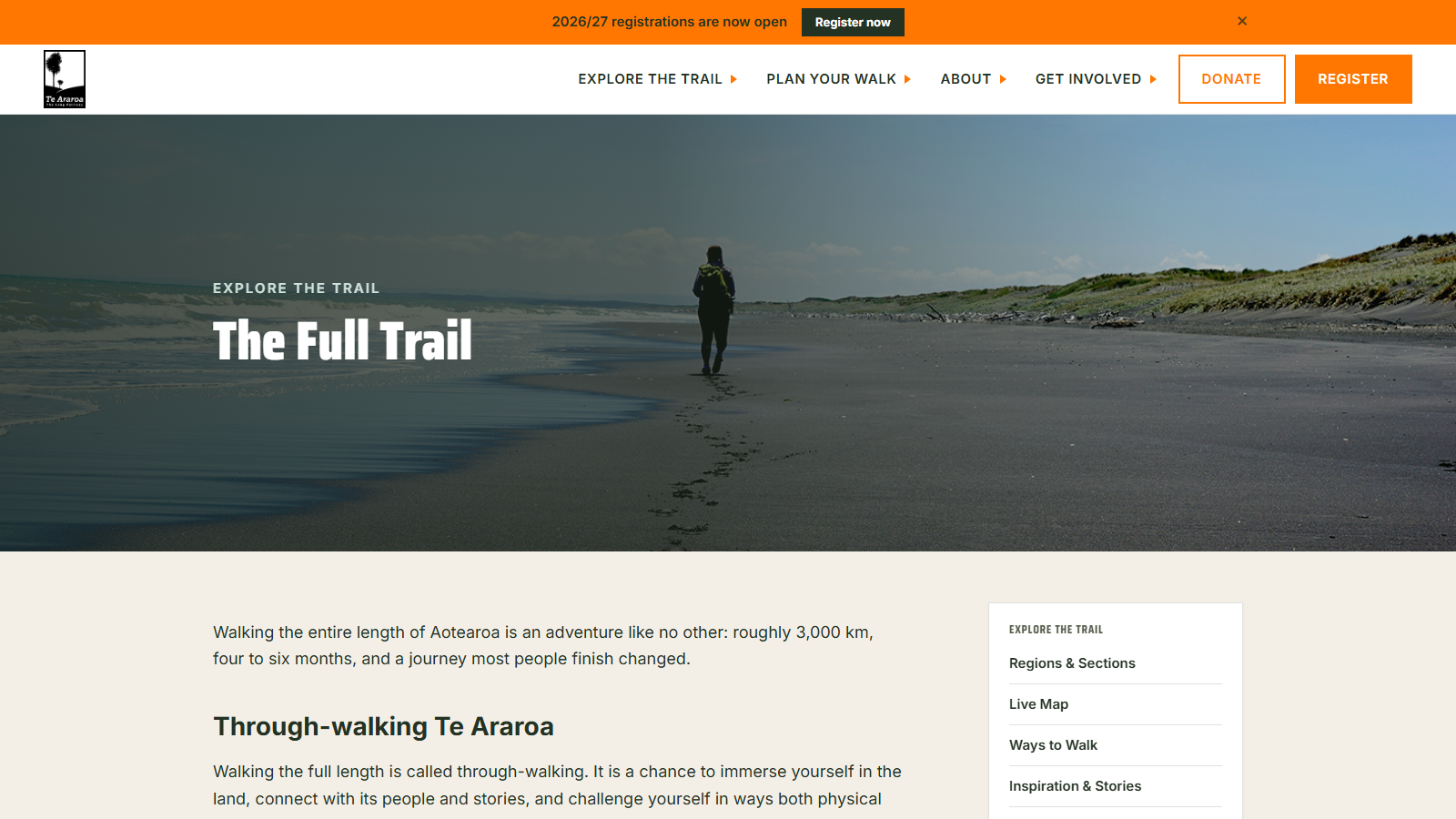
A lone hiker with a yellow-strapped pack walking away down a wide grey-sand beach, footprints trailing behind them toward dune grass and sea, under the heading 'The Full Trail'

Te Araroa Trust's Own Guide to Walking the Full Trail

Te Araroa Trust is the charity that built and maintains New Zealand's 3,000-kilometre length-of-the-country trail, and it is also the organization that sells the registration package and hut passes a through-walker needs to complete it — worth knowing going in, since the page describing the walk is also the sales page for what completing it requires.

With that in mind, the page itself is a solid orientation to through-walking, the trust's term for covering the full trail in one continuous trip. It puts the distance at roughly 3,000 km and the typical timeline at four to six months, breaking down to somewhere between 50 and 80 days per island depending on pace, weather, and rest days. It's candid about the skill this demands: river-crossing judgement, navigation, and the willingness to turn back when conditions call for it, since the route crosses private farmland, conservation land, and land held by iwi.

The seasonal window gets real attention too — southbound walkers are told to start late October to early December and northbound walkers around late November, both timed to clear alpine sections before snow returns. Twelve official bypass routes exist for hazards, closures, and river crossings that shouldn't be attempted directly, a fair signal of how much the trail can throw at a hiker even on a planned itinerary. What you won't find here is day-by-day logistics; this page sells the idea and the registration, not the trip notes.

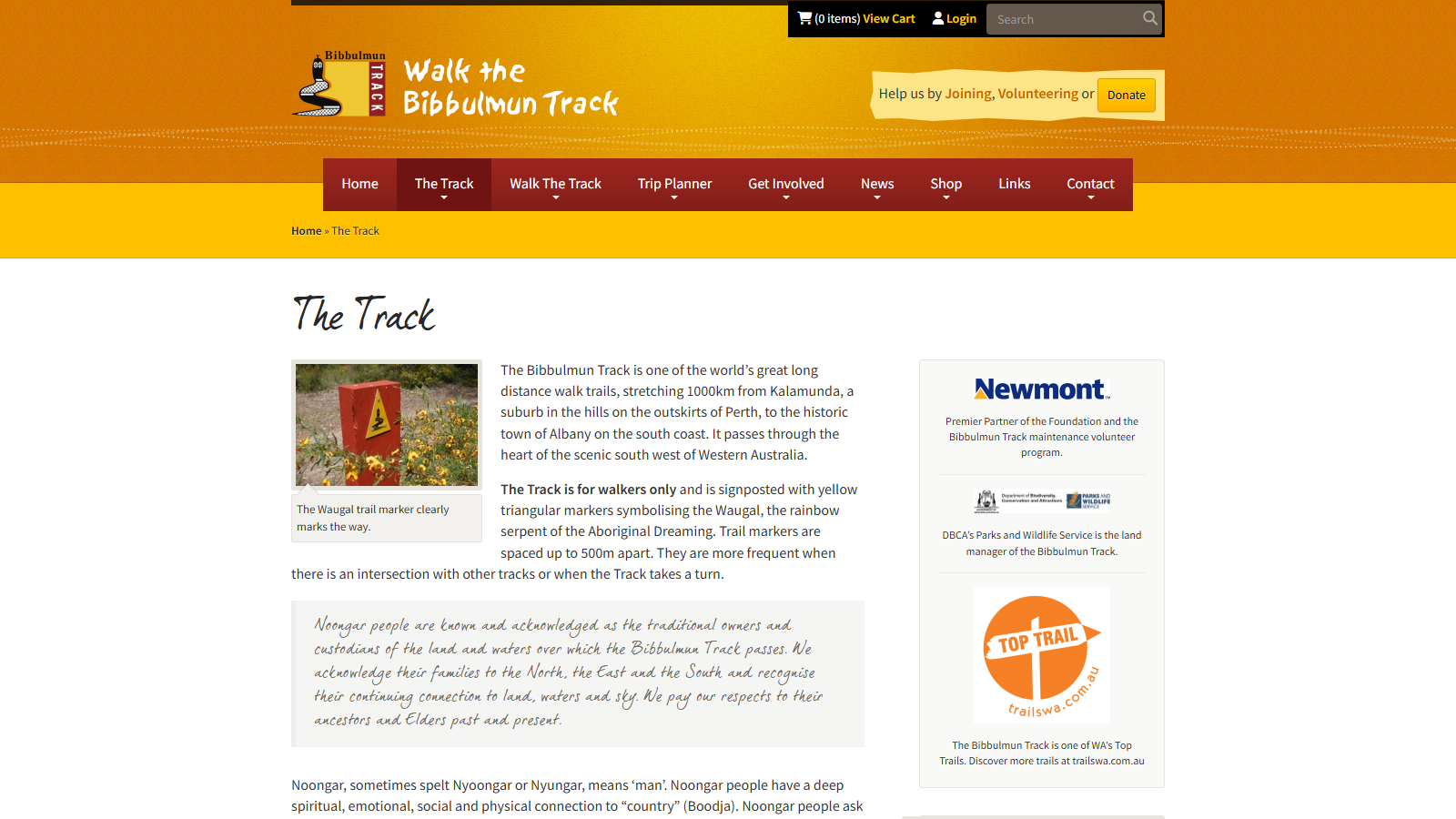
The Bibbulmun Track Foundation page headed 'The Track', with a photo of a red trail marker post carrying the yellow Waugal triangle among yellow wildflowers, beside text describing the 1000 km route from Kalamunda to Albany

The Bibbulmun Track: Western Australia's 1000km Trail

The Bibbulmun Track Foundation is the volunteer-run charity that maintains and promotes Western Australia's flagship long-distance trail, and it also sells the memberships, guidebooks and guided walks built around that same track. Worth flagging up front: this overview of the trail comes from an organisation that profits when people decide to walk it, join up, or buy its maps and guides.

That said, the foundation is also the closest thing the Bibbulmun Track has to an official record, and its page on "The Track" lays out the basics plainly. The route runs 1000km from Kalamunda, in the hills outside Perth, south to the coastal town of Albany, cutting through the heart of Western Australia's south west. Walkers follow yellow triangular markers based on the Waugal, the rainbow serpent of Noongar Dreaming, spaced up to 500 metres apart and placed more often near intersections or turns.

The page also carries a formal acknowledgement of the Noongar people as the traditional owners of the land and waters the track crosses, along with a short explanation of Noongar identity and the concept of "country" (Boodja) that grounds it. What you won't find here is trip-planning detail: no daily distances, campsite list, or season-by-season advice, since this page is the trail's front door rather than its itinerary. Anyone using it as a starting point will need the foundation's other trip-planning pages, or its guidebooks, to go further.

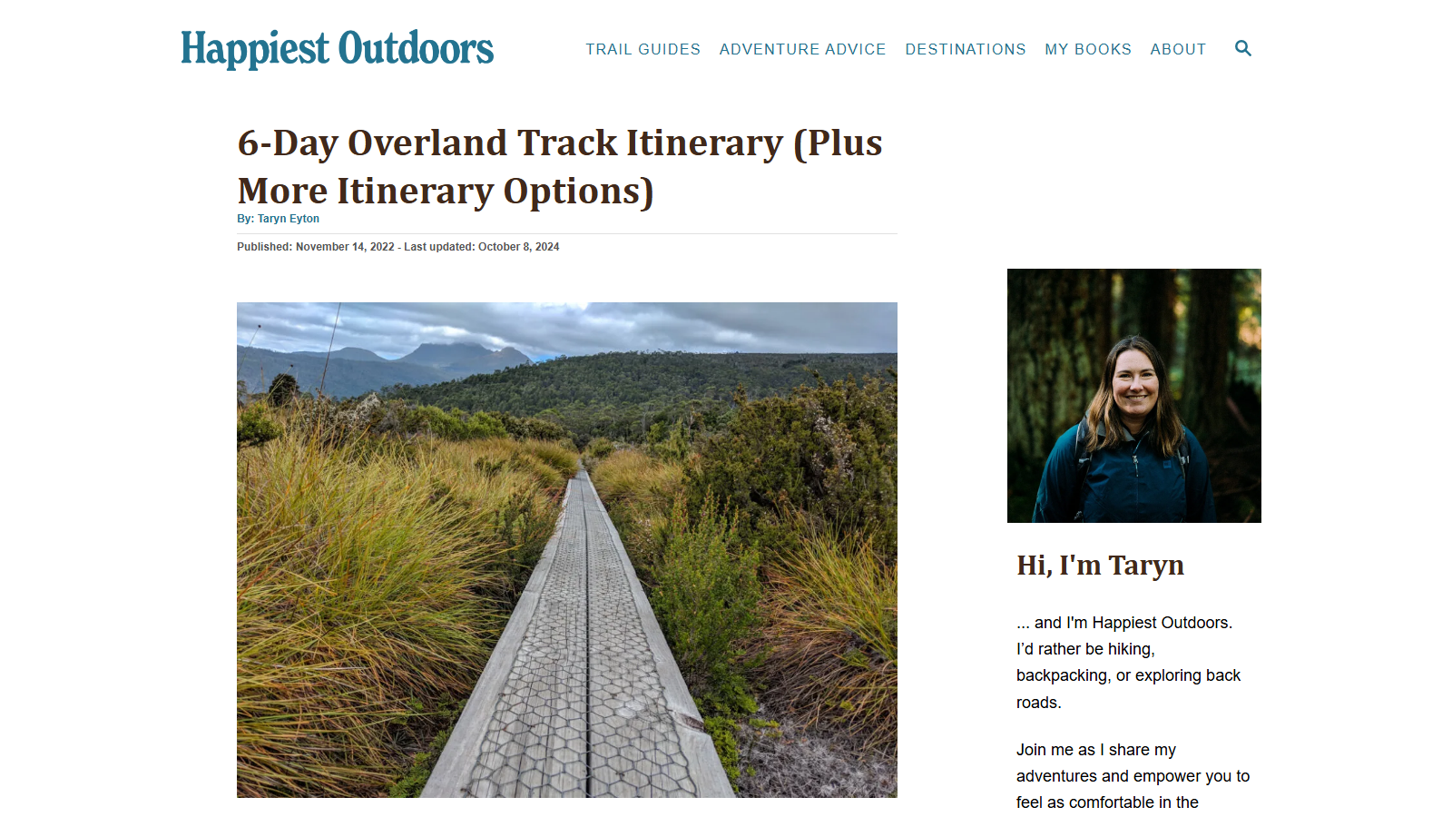
Article headed '6-Day Overland Track Itinerary (Plus More Itinerary Options)' with the byline 'By: Taryn Eyton' and a published date line, above a photograph of a raised metal-mesh boardwalk running straight through golden buttongrass moorland toward forested hills and a distant mountain range under grey cloud; a sidebar portrait sits beside 'Hi, I'm Taryn'

Overland Track Itinerary Options From 4 to 12 Days

Happiest Outdoors is a backpacking and hiking blog written by Taryn Eyton, and this guide breaks down how to actually schedule a walk of Tasmania's Overland Track rather than just describing it. It starts from the standard six-day itinerary that Parks Tasmania recommends and most walkers follow, then works outward from there.

The useful part is the range of alternatives around that baseline: a tighter four or five-day version for hikers who want to move fast and skip most side trips, and slower seven, eight, nine and even twelve-day plans for those who want to add detours like the walk down to Pine Valley or a side trip up Mount Ossa. Each variant explains what you gain and give up, rather than just listing distances.

Because the track runs hut-to-hut between Cradle Mountain and Lake St Clair, timing decisions here also affect food carrying, ferry bookings at the southern end, and how much flexibility you have if weather closes in on an exposed section. The guide is explicit about which days are hardest and where an extra day buys the most comfort — the kind of trade-off a bare map doesn't give you.

This is planning-stage reading rather than a turn-by-turn trail description: it assumes you already know you're doing the Overland Track and are deciding how many days to book. Walkers wanting detailed pack lists or hour-by-hour trail notes will need to look elsewhere, but for choosing an itinerary length before you commit, it's a clear, practical starting point.

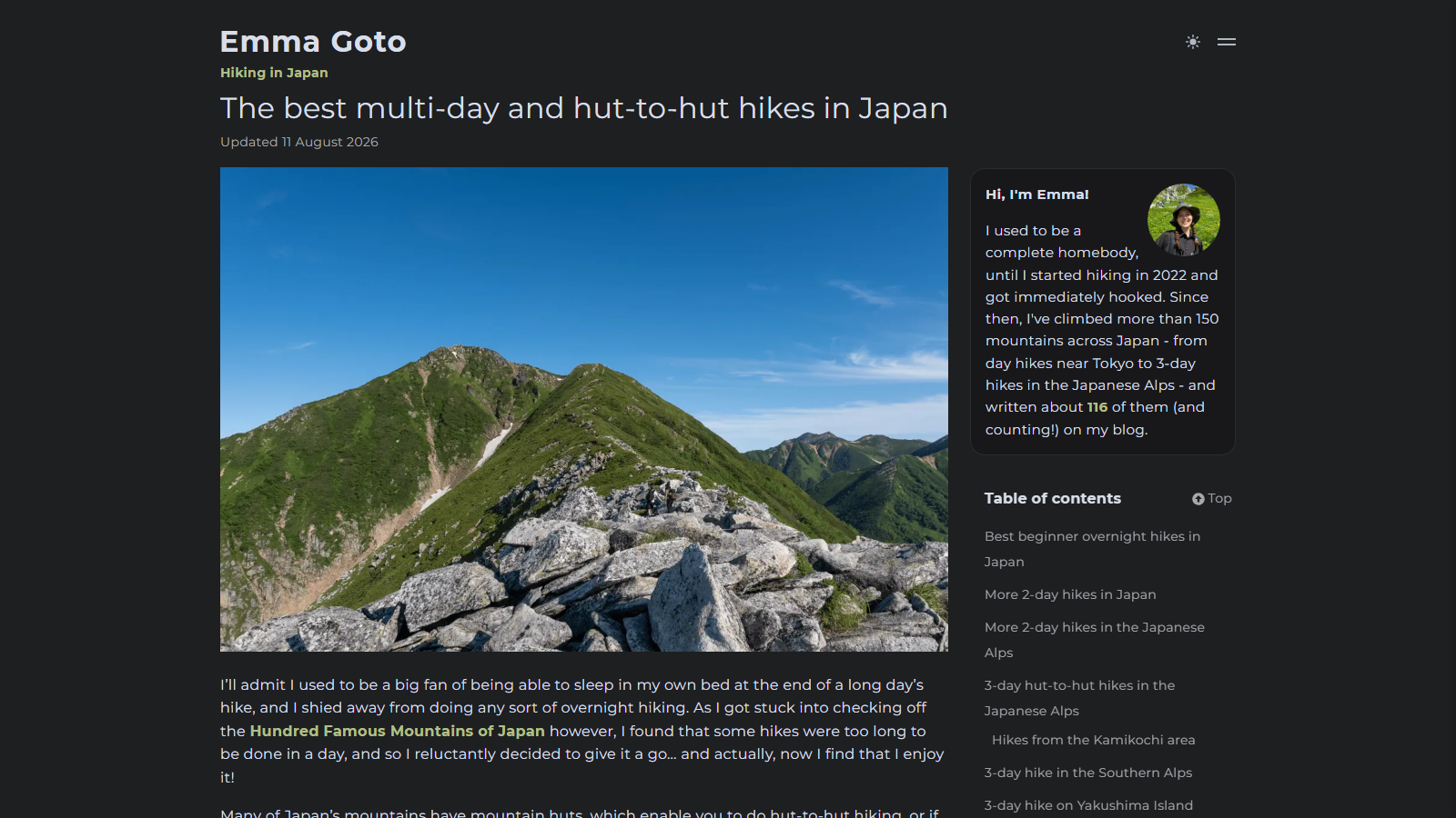
Dark-themed blog page headed 'The best multi-day and hut-to-hut hikes in Japan', updated 11 August 2026, above a photograph of a green ridgeline in the Japanese Alps with a boulder-strewn summit in the foreground under a clear blue sky; the sidebar shows an author portrait and a contents list of 2-day and 3-day hikes

Emma Goto's Guide to Multi-Day and Hut-to-Hut Hikes in Japan

Emma Goto's hiking blog catalogs multi-day and hut-to-hut routes across Japan, organized by trip length so overnight hikers can find something that matches the time they actually have.

The page is split into sections for beginner overnight trips, 2-day hikes both near Tokyo and in the Japanese Alps, and 3-day hut-to-hut routes through areas like Kamikochi, the Southern Alps, and Yakushima Island. Each entry points to a full write-up with logistics, and Goto has the mileage behind it: she has climbed more than 150 mountains in Japan and published trip reports for over 116 of them.

What makes it useful for planning is the hut-to-hut framing running through many of the picks. Relying on staffed mountain huts instead of carrying camping gear for multiple nights changes what you need to pack and how far you can realistically cover each day. The trade-off is that this page is a jumping-off point rather than a complete itinerary on its own — you'll still want to open the specific hike's write-up before booking transport or a hut reservation, since trail conditions and hut opening dates shift by season.

It suits hikers who already have some multi-day experience under their belt and want route options in Japan beyond the handful of trails that get most of the English-language coverage.

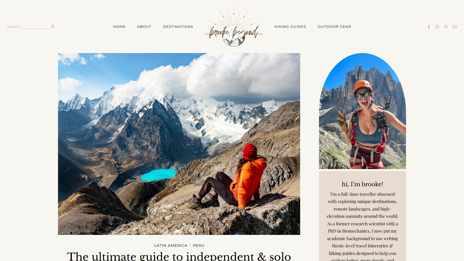
Brooke Beyond article page opening on a large photo of a hiker in an orange jacket sitting on a rocky ridge looking across the Cordillera Huayhuash: glaciated black-and-white peaks under cloud, with a bright turquoise glacial lake in the valley below; the headline 'The ultimate guide to independent & solo...' begins beneath it

Independent and Solo Guide to Peru's Huayhuash Circuit

Brooke Beyond is a solo-travel blog by a former biomechanics researcher who now treks and writes full time, and this guide carries a commercial interest worth naming first: the site sells a custom GPS map built for this exact route, plus affiliate links for gear, a satellite communicator, bus bookings and a local eSIM. That does not make the trekking information wrong, but the recommendations sit next to things the author profits from.

Past that, this is a detailed account of the roughly 135 km loop around Peru's Cordillera Huayhuash, a remote range in the central Andes. It crosses about a dozen passes above 4,500 m — the highest, Paso Rosario, near 5,090 m — with camps pitched between 4,100 m and 4,600 m across a ten-day itinerary. That is high-altitude, multi-day camping rather than a hut-to-hut walk, and the guide gives real space to acclimatization accordingly.

The most useful part for anyone attempting this alone is the navigation advice: long stretches sit off-trail, and the guide is upfront that map, compass or GPS skills are not optional here. It also explains the community-run ticketing system that charges trekkers small fees around the circuit, logistics a guided group would otherwise handle.

The trade-off is that the account is drawn from one trek in one season, so conditions, fees and access can drift from what is written. Treat it as a strong starting point for planning, and double-check specifics closer to departure.

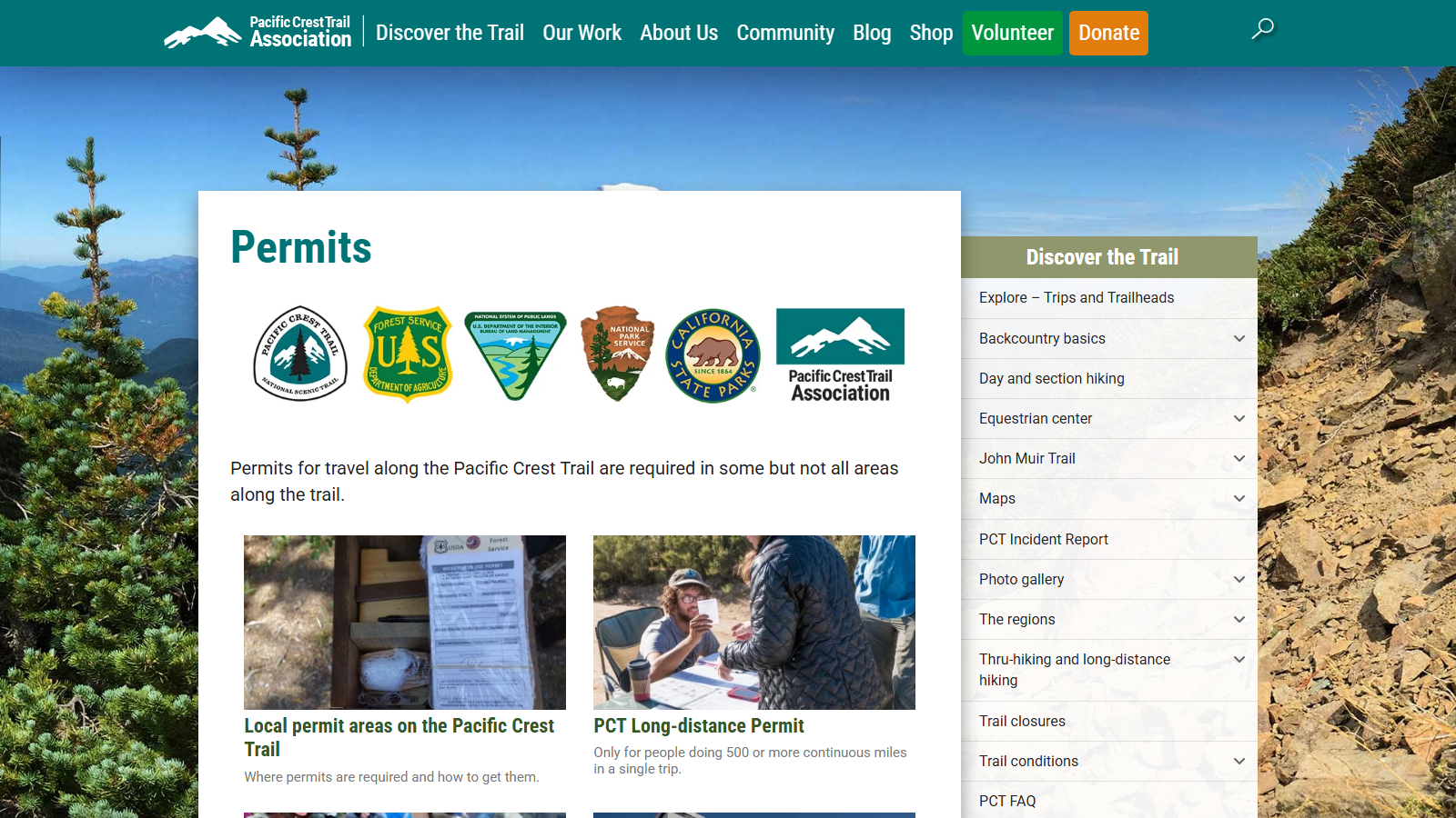
The PCTA permits page over a background photo of a rocky, conifer-dotted ridgeline, showing the six agency badges - PCT, Forest Service, BLM, National Park Service, California State Parks and PCTA - above cards for local permit areas and the PCT Long-distance Permit

Pacific Crest Trail Association's PCT Long-Distance Permit Page

This section covers a permits page, not a trail guide: the Pacific Crest Trail Association's permits hub is where a would-be thru-hiker sorts out the paperwork that makes a continuous, multi-week walk down the PCT legally possible, not where they'd go to read about the walking itself.

The page splits into two permit tracks. Local permit areas apply to shorter trips through specific wilderness zones or parks, where a separate agency issues its own permit regardless of how far you're going. The PCT Long-distance Permit is built for anyone covering 500 or more continuous miles in a single trip, and it bundles sign-off from six different authorities — the PCT National Scenic Trail designation, the Forest Service, the Bureau of Land Management, the National Park Service, California State Parks, and the Pacific Crest Trail Association itself — into one application instead of six separate ones.

For someone mapping out a full Mexico-to-Canada attempt or a several-week section hike, that consolidation is the real value: one form standing in for a stack of agency-specific ones. The trade-off is that it stays strictly administrative. There's no route description, resupply advice, or trail conditions here — only who needs a permit, which one applies, and how to apply for it.

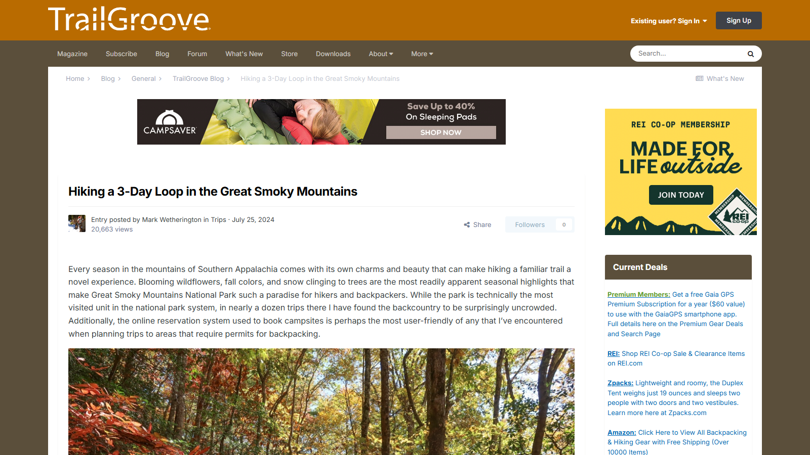
Orange TrailGroove masthead above a CampSaver sleeping-pad ad banner and the article "Hiking a 3-Day Loop in the Great Smoky Mountains" by Mark Wetherington, July 25 2024, showing its opening paragraph and a photo of an autumn forest of red and yellow leaves below; an REI Co-op membership ad and a "Current Deals" box of gear and subscription offers run down the right sidebar.

TrailGroove's 3-Day Loop Hike in the Great Smoky Mountains

TrailGroove is a backpacking and hiking site that publishes first-hand trip reports alongside a magazine and a members-only subscription, and it earns its place here for the reports rather than the sales pitch — this one, from Mark Wetherington, walks a specific three-day loop through Great Smoky Mountains National Park in enough operational detail to plan a trip from it.

Worth knowing upfront: TrailGroove sells a paid Premium Membership and runs sidebar advertising for tents, sleeping pads, and GPS apps from retail partners. The two resources this particular report points readers toward — a National Geographic Trails Illustrated map and the Great Smoky Mountains Association's "Hiking Trails of the Smokies" guidebook — aren't sold through TrailGroove itself, so the recommendation reads as independent rather than a store plug.

The route runs from Twentymile Trailhead up Twentymile Trail to the Appalachian Trail, detours to Shuckstack Fire Tower, follows the AT past Birch Spring Gap to Gregory Bald via Doe Knob, then descends past Parson Bald and closes the loop on Wolf Ridge Trail. Wetherington recommends late October for fall color, notes that color timing varies by elevation, and lays out the park's backcountry permit system: $8 per person per night, capped at $40, bookable 30 days out, plus separate parking tags.

What's missing is total mileage — worth checking against a map before committing a long weekend to it.